Drone used for aerial photography
Last January we wrote about how drones could soon be changing the way that real estate professionals do their job. At the time, the National Association of Realtors released a statement that unmanned aerial vehicles (UAVs) (also referred to as unmanned aircraft systems or UAS)were not allowed for commercial real estate marketing, but the organization would be monitoring the situation as the Federal Aviation Administration (FAA) continued to research how drones could be used commercially.
A year later, the situation has changed. In February 2015, the FAA published a Small UAS Notice of Proposed Rulemaking. Once finalized, the proposed rules would provide a framework of regulations allowing routine non-recreational use of UAVs weighing less than 55 pounds.
However, until the new Small UAS rules are finalized and implemented, drones cannot be used for commercial ventures unless the pilot possesses all of the following:
- A Section 333 exemption from the FAA
- A Certificate of Waiver or Authorization (COA)
- An FAA airman certificate
- A UAV registered with the FAA
The Section 333 exemption has allowed professionals in the real estate industry to hire professional pilots to fly drones and take the photos and videos they need. In just a short time, drones are already making a big impact as Realtors, appraisers, and others learn how to use UAVs to their full potential.
Realtors may have to shell out a few hundred dollars to hire a drone operator to take photos of a large property. However, for agents who are selling trophy properties that can stretch for a hundred or more acres, photos of the sprawling land can be the tipping point in making a sale.
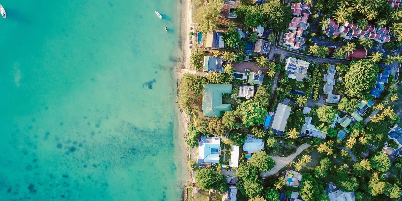
Consider that drone footage of a boarding school property in Vancouver, British Columbia, garnered more than 1,500 views on YouTube. That’s well above the few dozen views ground-based videos earn for similar properties. Drone footage offers a unique view that potential buyers can’t see with more traditional videos and photos. Industrial properties on sale also benefit from drone footage. UAVs provide a bird’s-eye view around smoke stacks, heavy machinery, and other obstacles that people can’t easily see around.
One Realtor said that buyers were making offers for properties that they hadn’t even visited. Instead, the buyers were basing their offers solely on the drone footage that presented a more complete and awe-inspiring view.
“It’s a completely different perspective,” says Windsor Realtor Paul Rouillard. “They can see the complete area, and they can see the entire property all around in a 360-degree view.”
That’s not to say that drones will be taking the jobs of Realtors in the future. There’s something to be said for actually taking a step on a farm or walking into that second-floor bedroom and looking out the window. While videos add a lot to the buying experience, people still want to get the feeling of falling in love with a property when they visit it for the first time.
Drone use is catching on in the real estate sector. At a recent convention, many of the trade booths were set up by companies that work with clients not only to provide images, but also to consult on FAA requirements.
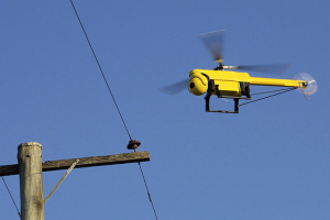
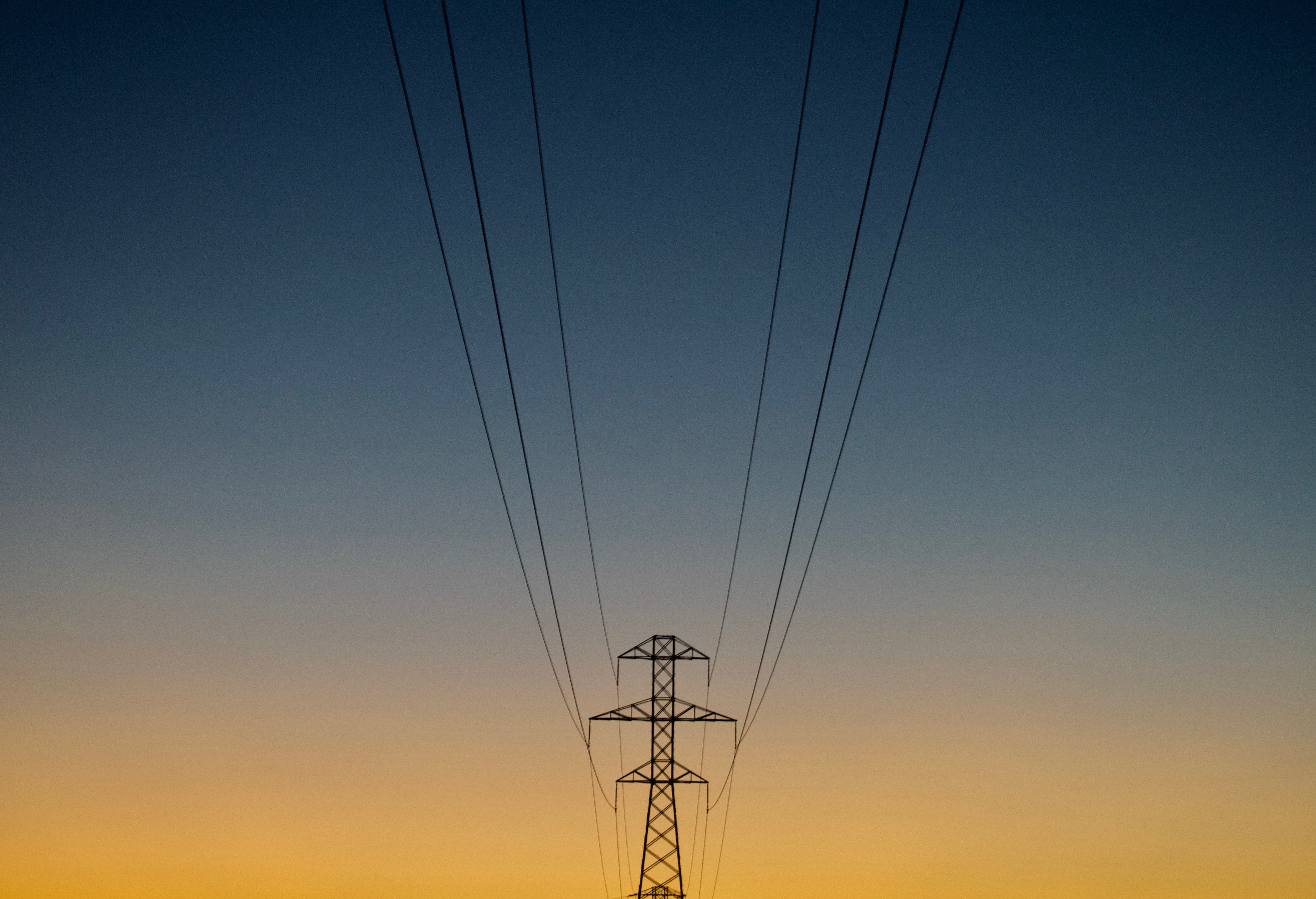
UAV inspecting power lines, courtesy of CSIRO, CC BY 3.0.
The public comment period on the FAA’s proposed rules closed on April 24, 2015, and we’re not sure when the final rule will be released. However, the new rules will certainly allow for more operators flying UAVs for commercial use. We expect not only real estate professionals but also other industries to see a change in how business is conducted. One consulting company predicted that the commercial drone market, not counting military use, would pass $100 billion in the next 4 years.
How do you see drone use affecting the real estate industry? Let us know in the comments.
I believe it is a great innovation for the real estate industry but I do not think it will replace realtors. Also, I believe it is only right that drone operators should have the proper papers to operate as they might be violation the privacy of some people. One way or another, it could be abused and it is important that we do not get to that point.
The main controls of these drones are remote and can be operated using a pad remote control. The transmitter can be used to receive commands or transmit them to the drone. The transmitter is also responsible for controlling the battery life.