The most important aspect of GIS is having good quality data (at least at Greenfield Advisors, that is). Whenever we start a new job, it is my job to do the groundwork on obtaining data. This responsibility falls on me because, as the GIS analyst, I know what goes into a good parcel database. It would be pointless to have a regular analyst perform this task because of their lack of knowledge in GIS.
Since we are in the real estate valuation field, we work primarily with county assessors to obtain our data. The first thing we investigate is whether they have a parcel database or computer-assisted mass appraisal (CAMA) system. If they don’t, the only other option we have is to go through a private data vendor. However, in general, if the county assessor doesn’t have the data we need, it is rare that a private data vendor will. That being said, once we find out that they do indeed have the necessary data, we must then determine if it fits our needs or if we will need to obtain additional data elsewhere.
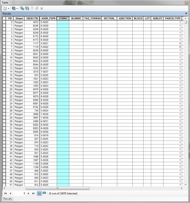
We will always purchase parcel layers if they are not readily available for free online. Many states offer free data; however, with free data you may not always get all of the variables needed to perform hedonic modeling. For those not familiar with hedonic modeling, without getting into the complexities, it is basically a regression analysis that we perform to determine market value or rent. If we get free data, most of the time the variables needed to perform our analysis will need to be obtained elsewhere. This problem is not restricted to free data though; depending on where you are in this country, laws change from state to state and from county to county. Therefore, it is important to get a sample of what each county is offering. There is nothing worse than getting your data only to find out that there are no housing characteristics or that the county doesn’t have a sales file. This actually happens. Try getting data in Louisiana—it happened to us on one of the parishes down there. I won’t say which one, but it’s one of the only ones you can get GIS from (see example of missing data below).
Bad data is not the only problem we have with data. Sometimes a county will have data but will be reluctant (for one reason or another) to sell it. We had one county (again, I won’t name names to protect the guilty) where they had the data but they just wouldn’t sell it to us because they couldn’t figure out a pricing schedule. It turns out that the county officials were in a civil war, so no one would cooperate with anyone else to come to a consensus on the price. It was a mess, but finally, 4 months later we got our data. People are also very skeptical about selling data—they tend to want to know how you are going to use it, and they determine if you’re worthy enough to have it.
Another funny thing is when the assessor doesn’t know if they have a GIS/mapping department. Really? Ten calls later, you are talking to the county engineer. GIS hides in all different kinds of county departments. GIS is truly multi-disciplinary.
We will always jump through these hoops because data is the most important aspect of any of our projects. It is just one of the headaches GIS analysts face, but once you have the data, everything else will fall into place.


Recent Comments