There are many open platform geospatial projects and websites out there, the largest of which is OpenStreetMap (OSM) [http://openstreetmap.org]. OSM offers free and downloadable geo-spatial data all over the globe. Working with smaller area, such as certain countries or regions can be obtained from http://download.geofabrik.de/.
AVM Analytics has been working with OpenStreetMap data to further develop real estate modeling techniques and interactive products. The real-time updating of the data and the ‘dirtyness’ of openly sourced data are challenging, but the extensive-ness of coverage and cost of access (free) are important balancing factors. In addition to our valuation modeling exercises, we are also prototyping the use of this information for appraisal review and other compliance tasks.
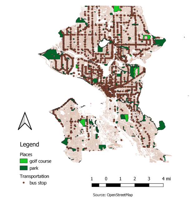
The OpenStreetMap data contains many landmarks that may provide insight into locational differences in real estate modeling. Many states provide access to geospatial data, however in addition to comprehensive data of roadways, OpenStreetMap provides additional granular data, such as locations of amenities such as grocery stores, fire stations and dog parks. The OSM database is a living, growing set of data. You can log on to openStreetMap.org and look at your area to see which landmarks have been captured and make your own additions to the project.
Jessica Kenyon, MS, Statistician


Recent Comments